Droitwich Community Woodland
Introduction
The photograph on this page of Droitwich Community Woodland by Trevor Rickard as part of the Geograph project.
The Geograph project started in 2005 with the aim of publishing, organising and preserving representative images for every square kilometre of Great Britain, Ireland and the Isle of Man.

There are currently over 7.5m images from over 14,400 individuals and you can help contribute to the project by visiting https://www.geograph.org.uk
Droitwich Community Woodland
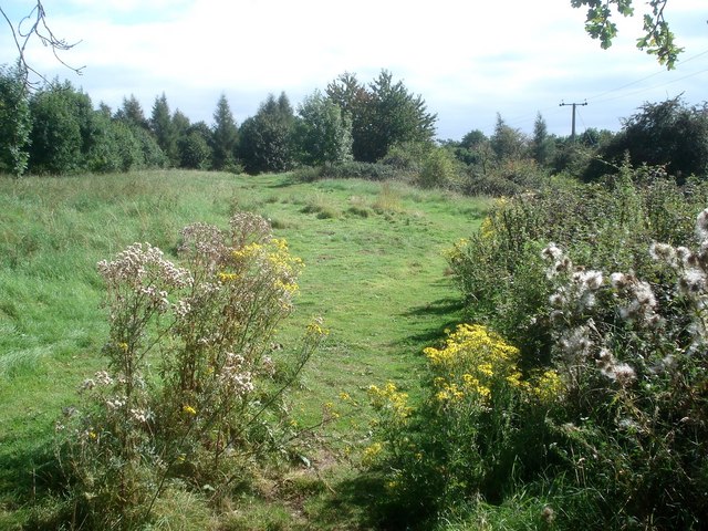
Image: © Trevor Rickard Taken: 7 Sep 2007
Looking south-east along the public footpath parallel with the A38 (just behind the trees to the left). Wychavon District Council manage an arc of semi-wild land to the south of Droitwich for public use, which includes this waymarked trail.
Images are licensed for reuse under creativecommons.org/licenses/by-sa/2.0
Image Location
Latitude
52.2573
Longitude
-2.174879