Boundary stone and bench mark on Pont y Brenhin
Introduction
The photograph on this page of Boundary stone and bench mark on Pont y Brenhin by John S Turner as part of the Geograph project.
The Geograph project started in 2005 with the aim of publishing, organising and preserving representative images for every square kilometre of Great Britain, Ireland and the Isle of Man.

There are currently over 7.5m images from over 14,400 individuals and you can help contribute to the project by visiting https://www.geograph.org.uk
Boundary stone and bench mark on Pont y Brenhin
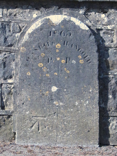
Image: © John S Turner Taken: 19 Mar 2009
This boundary stone dated 1863 stands on Pont y Brenhin over Afon y Brenhin, just south of Llangoed. It marks the boundary between Llangoed and Llanfaes, and also has an Ordnance Survey bench mark.
Images are licensed for reuse under creativecommons.org/licenses/by-sa/2.0
Image Location
Latitude
53.289291
Longitude
-4.08851