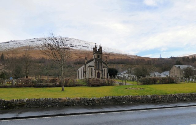
Arrochar Parish Church
Introduction
The photograph on this page of Arrochar Parish Church by Gerald England as part of the Geograph project.
The Geograph project started in 2005 with the aim of publishing, organising and preserving representative images for every square kilometre of Great Britain, Ireland and the Isle of Man.
There are currently over 7.5m images from over 14,400 individuals and you can help contribute to the project by visiting https://www.geograph.org.uk

Image: © Gerald England Taken: 21 Mar 2017
The parish covers a large area that includes the villages of Arrochar and Luss. The present church was built in 1847 but by 1998 had fallen into disrepair and was declared too dangerous to enter. However the community raised funds for its restoration and local tradesmen gave their time and skills willingly to accomplish this. In September 1999 the church was reopened. http://www.threevillages.org.uk/community/arrochar-parish-church/ It is Category B listed http://portal.historicenvironment.scot/designation/LB826 For much fuller history see http://www.arrocharheritage.com/Arrochar%20Parish%20History.htm (Arrochar Heritage).

