River Bann
Introduction
The photograph on this page of River Bann by Raymond Okonski as part of the Geograph project.
The Geograph project started in 2005 with the aim of publishing, organising and preserving representative images for every square kilometre of Great Britain, Ireland and the Isle of Man.

There are currently over 7.5m images from over 14,400 individuals and you can help contribute to the project by visiting https://www.geograph.org.uk
River Bann
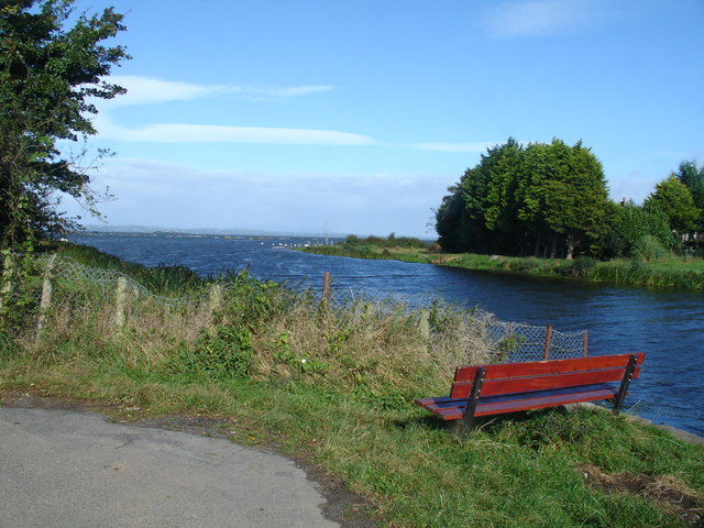
Image: © Raymond Okonski Taken: 25 Sep 2007
At the end of the road on the west bank of the River Bann, Lough Neagh can be seen with the water flowing OUT of the loch.
Images are licensed for reuse under creativecommons.org/licenses/by-sa/2.0
Image Location


Leaflet Map data © OpenStreetMap
Latitude
54.505068
Longitude
-6.518794