Park Villas, Glandwr Street
Introduction
The photograph on this page of Park Villas, Glandwr Street by M J Roscoe as part of the Geograph project.
The Geograph project started in 2005 with the aim of publishing, organising and preserving representative images for every square kilometre of Great Britain, Ireland and the Isle of Man.

There are currently over 7.5m images from over 14,400 individuals and you can help contribute to the project by visiting https://www.geograph.org.uk
Park Villas, Glandwr Street
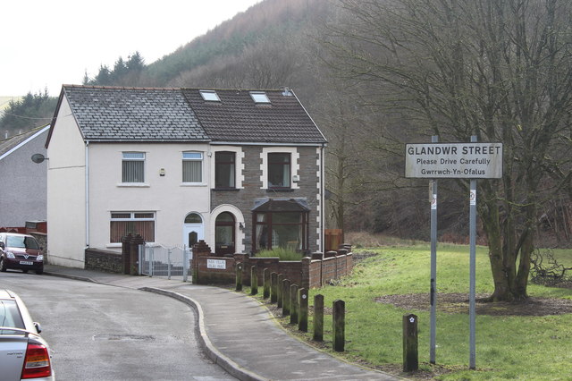
Image: © M J Roscoe Taken: 16 Feb 2018
Northern end of the cul-de-sac at the end of Abertillery Park, right. The Ebbw Fach Trail runs along the pavement, and the road is part of National Cycle Route 465.
Images are licensed for reuse under creativecommons.org/licenses/by-sa/2.0
Image Location
Latitude
51.734168
Longitude
-3.144652