Twisted, Woodhead Road, Nitshill
Introduction
The photograph on this page of Twisted, Woodhead Road, Nitshill by Richard Sutcliffe as part of the Geograph project.
The Geograph project started in 2005 with the aim of publishing, organising and preserving representative images for every square kilometre of Great Britain, Ireland and the Isle of Man.

There are currently over 7.5m images from over 14,400 individuals and you can help contribute to the project by visiting https://www.geograph.org.uk
Twisted, Woodhead Road, Nitshill
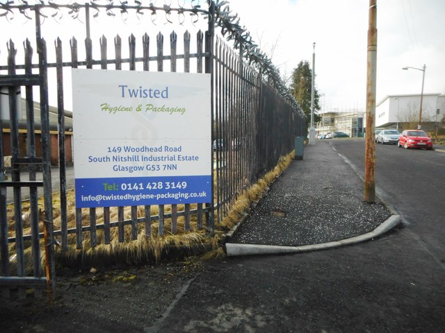
Image: © Richard Sutcliffe Taken: 19 Feb 2018
Sign at the entrance to a hygiene and packaging company on Woodhead Road. The security measures at the top of the fence match the company name! Note the state of the pavement compared with a few weeks earlier [http://www.geograph.org.uk/photo/5654900].
Images are licensed for reuse under creativecommons.org/licenses/by-sa/2.0
Image Location
Latitude
55.811322
Longitude
-4.363752