The old house alongside the drove that used to lead to Woodlodge
Introduction
The photograph on this page of The old house alongside the drove that used to lead to Woodlodge by J W Parker as part of the Geograph project.
The Geograph project started in 2005 with the aim of publishing, organising and preserving representative images for every square kilometre of Great Britain, Ireland and the Isle of Man.

There are currently over 7.5m images from over 14,400 individuals and you can help contribute to the project by visiting https://www.geograph.org.uk
The old house alongside the drove that used to lead to Woodlodge
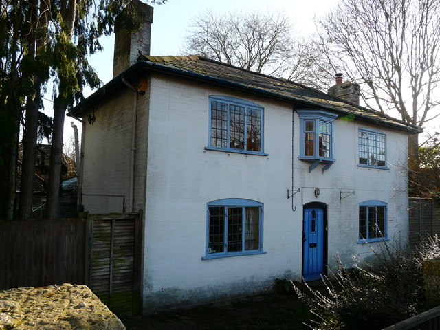
Image: © J W Parker Taken: 2 Feb 2018
This house dates back to pre-1930s and is at the entrance to the drove which used to lead to a large 1920s house called Woodlodge; the house was taken down and the land was turned into Woodlodge Close.
Images are licensed for reuse under creativecommons.org/licenses/by-sa/2.0
Image Location
Latitude
50.928695
Longitude
-1.519862