Power lines
Introduction
The photograph on this page of Power lines by Alan Walker as part of the Geograph project.
The Geograph project started in 2005 with the aim of publishing, organising and preserving representative images for every square kilometre of Great Britain, Ireland and the Isle of Man.

There are currently over 7.5m images from over 14,400 individuals and you can help contribute to the project by visiting https://www.geograph.org.uk
Power lines
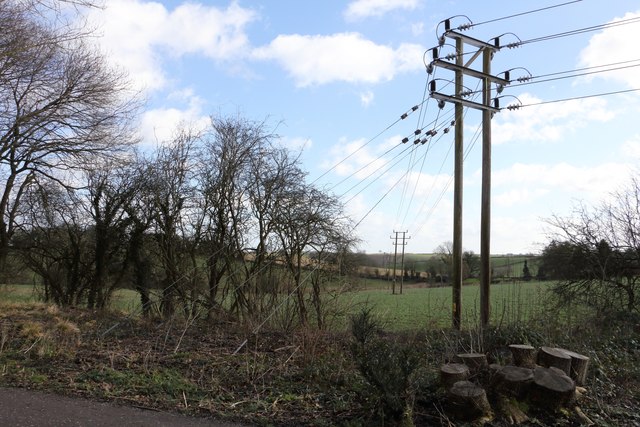
Image: © Alan Walker Taken: 15 Feb 2018
This easterly facing photograph, taken from the Teversal Trail, shows power lines at a point where they change direction as they make their way, behind the viewpoint, toward Fackley. Ahead the lines pass Dawgates Farm on their way to the outskirts of Mansfield. When the photograph was taken, shrubbery and undergrowth below the route of the cables had fairly recently been cleared. See also this photograph by Andrew Hill:- Image
Images are licensed for reuse under creativecommons.org/licenses/by-sa/2.0
Image Location
Latitude
53.155229
Longitude
-1.283953