Kinwalsey Lane in Boultbee's Wood
Introduction
The photograph on this page of Kinwalsey Lane in Boultbee's Wood by Richard Law as part of the Geograph project.
The Geograph project started in 2005 with the aim of publishing, organising and preserving representative images for every square kilometre of Great Britain, Ireland and the Isle of Man.

There are currently over 7.5m images from over 14,400 individuals and you can help contribute to the project by visiting https://www.geograph.org.uk
Kinwalsey Lane in Boultbee's Wood
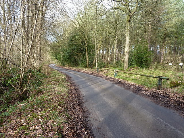
Image: © Richard Law Taken: 15 Feb 2018
The lane runs generally northwards from the B4102 to the settlement of Kinwalsey. The signs on the gate into Boultbee's Wood (and similar ones a little further on into Close Wood on the left) suggest that public access is not encouraged.
Images are licensed for reuse under creativecommons.org/licenses/by-sa/2.0
Image Location
Latitude
52.458576
Longitude
-1.625409