Vinegar Hill, Undy
Introduction
The photograph on this page of Vinegar Hill, Undy by Jaggery as part of the Geograph project.
The Geograph project started in 2005 with the aim of publishing, organising and preserving representative images for every square kilometre of Great Britain, Ireland and the Isle of Man.

There are currently over 7.5m images from over 14,400 individuals and you can help contribute to the project by visiting https://www.geograph.org.uk
Vinegar Hill, Undy
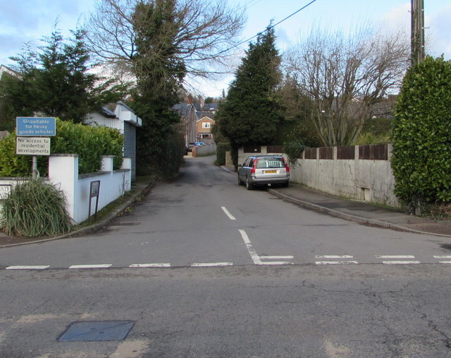
Image: © Jaggery Taken: 11 Feb 2018
The southern end of Vinegar Hill viewed across the B4245 here named Main Road. The blue sign shows that Vinegar Hill is unsuitable for heavy goods vehicles. The white sign below it shows No access to residential developments.
Images are licensed for reuse under creativecommons.org/licenses/by-sa/2.0
Image Location
Latitude
51.579188
Longitude
-2.817917