St Mark's terrace, Low Moor
Introduction
The photograph on this page of St Mark's terrace, Low Moor by Stephen Craven as part of the Geograph project.
The Geograph project started in 2005 with the aim of publishing, organising and preserving representative images for every square kilometre of Great Britain, Ireland and the Isle of Man.

There are currently over 7.5m images from over 14,400 individuals and you can help contribute to the project by visiting https://www.geograph.org.uk
St Mark's terrace, Low Moor
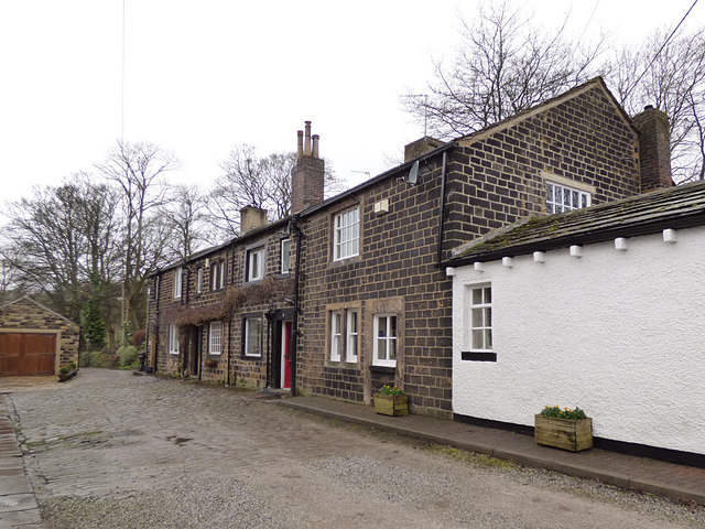
Image: © Stephen Craven Taken: 10 Feb 2018
This terrace is listed grade 2 (list entry 1133731). Built c.1790 as "coach house and stabling" but now housing.
Images are licensed for reuse under creativecommons.org/licenses/by-sa/2.0
Image Location
Latitude
53.751475
Longitude
-1.768696