Condorrat Parish Church
Introduction
The photograph on this page of Condorrat Parish Church by Euan Nelson as part of the Geograph project.
The Geograph project started in 2005 with the aim of publishing, organising and preserving representative images for every square kilometre of Great Britain, Ireland and the Isle of Man.

There are currently over 7.5m images from over 14,400 individuals and you can help contribute to the project by visiting https://www.geograph.org.uk
Condorrat Parish Church
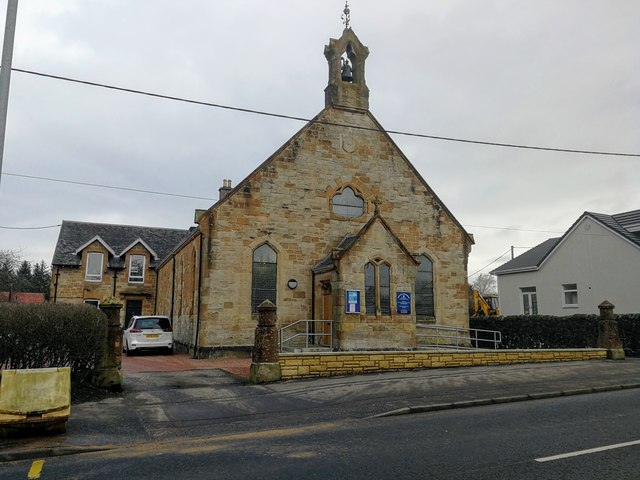
Image: © Euan Nelson Taken: 18 Feb 2018
The construction of the church at Condorrat was completed in 1875, with money being raised by the local people, the majority of whom were weavers, miners and quarrymen.
Images are licensed for reuse under creativecommons.org/licenses/by-sa/2.0
Image Location
Latitude
55.933194
Longitude
-4.031434