Gated Old Blaina Road
Introduction
The photograph on this page of Gated Old Blaina Road by M J Roscoe as part of the Geograph project.
The Geograph project started in 2005 with the aim of publishing, organising and preserving representative images for every square kilometre of Great Britain, Ireland and the Isle of Man.

There are currently over 7.5m images from over 14,400 individuals and you can help contribute to the project by visiting https://www.geograph.org.uk
Gated Old Blaina Road
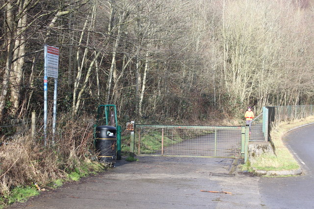
Image: © M J Roscoe Taken: 16 Feb 2018
The old road is now closed as a highway; only pedestrians and cycles allowed through on the Ebbw Fach Trail / National Cycle Route 465. The road on the right leads up to the A467.
Images are licensed for reuse under creativecommons.org/licenses/by-sa/2.0
Image Location
Latitude
51.750317
Longitude
-3.157519