
Road closure, Knock, Belfast (February 2018)
Introduction
The photograph on this page of Road closure, Knock, Belfast (February 2018) by Albert Bridge as part of the Geograph project.
The Geograph project started in 2005 with the aim of publishing, organising and preserving representative images for every square kilometre of Great Britain, Ireland and the Isle of Man.

There are currently over 7.5m images from over 14,400 individuals and you can help contribute to the project by visiting https://www.geograph.org.uk
Road closure, Knock, Belfast (February 2018)
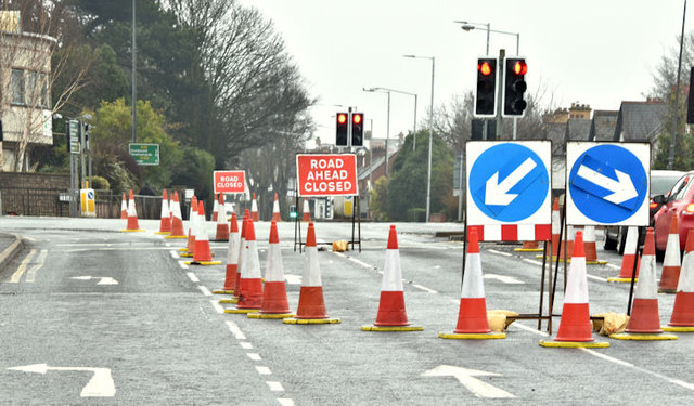
Image: © Albert Bridge Taken: 18 Feb 2018
The Upper Newtownards Road at the Knock crossroads. Trafficwatch NI notes “East Belfast - in connection with the Belfast Rapid Transit project essential carriageway re-surfacing works on the A20 Upper Newtownards Road are scheduled to be carried out on five consecutive weekends from Saturday 27th January (and on the remaining dates as detailed below) It is proposed that on each weekend the works will start at 19:00 on Saturday night and continue through until Sunday night / Monday morning. However, we would hope that the works will be completed earlier than Monday morning. 19:00 on Saturday 17th – 06:00 on Monday 19th February 19:00 on Saturday 24th – 06:00 on Monday 26th February Plus another to be confirmed During these times a diversion route will be in place from the Knock Road Junction and Comber Road Junction via Knock Road, Kings Road, Old Dundonald Road and Comber Road (and vice versa). Within the area of the works local access will be maintained for residents and emergency vehicles only.”
Images are licensed for reuse under creativecommons.org/licenses/by-sa/2.0
Image Location

Latitude
54.594669
Longitude
-5.85516