Peartree Lane
Introduction
The photograph on this page of Peartree Lane by Alan Walker as part of the Geograph project.
The Geograph project started in 2005 with the aim of publishing, organising and preserving representative images for every square kilometre of Great Britain, Ireland and the Isle of Man.

There are currently over 7.5m images from over 14,400 individuals and you can help contribute to the project by visiting https://www.geograph.org.uk
Peartree Lane
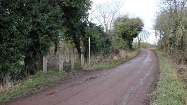
Image: © Alan Walker Taken: 15 Feb 2018
The photograph shows an access point onto the Image from Peartree Lane. Just a few metres ahead Image crosses the trail via a three arch, brick bridge. For a photograph of the lane taken some 40m behind the viewpoint, click here:- Image - - - An OS map revised in 1875 and published in 1877 names the lane as Marker Lane. By 1900 the name had changed to Peartree Lane.
Images are licensed for reuse under creativecommons.org/licenses/by-sa/2.0
Image Location
Latitude
53.154064
Longitude
-1.284571