Field on north side of A19
Introduction
The photograph on this page of Field on north side of A19 by Trevor Littlewood as part of the Geograph project.
The Geograph project started in 2005 with the aim of publishing, organising and preserving representative images for every square kilometre of Great Britain, Ireland and the Isle of Man.

There are currently over 7.5m images from over 14,400 individuals and you can help contribute to the project by visiting https://www.geograph.org.uk
Field on north side of A19
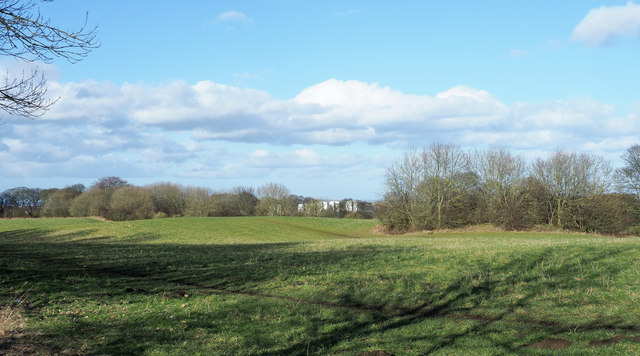
Image: © Trevor Littlewood Taken: 15 Feb 2018
The land, (is it a field), is on the north side of the A19 and also the W2W, cycle route 70, from which the image was recorded.
Images are licensed for reuse under creativecommons.org/licenses/by-sa/2.0
Image Location
Latitude
54.858374
Longitude
-1.426094