Pykes Weint, Neston
Introduction
The photograph on this page of Pykes Weint, Neston by Jaggery as part of the Geograph project.
The Geograph project started in 2005 with the aim of publishing, organising and preserving representative images for every square kilometre of Great Britain, Ireland and the Isle of Man.

There are currently over 7.5m images from over 14,400 individuals and you can help contribute to the project by visiting https://www.geograph.org.uk
Pykes Weint, Neston
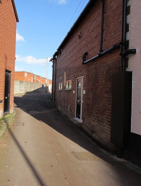
Image: © Jaggery Taken: 15 Feb 2018
An area of modern housing set back from the east side of High Street. https://www.geograph.org.uk/photo/5681239 to the Pykes Weint name sign.
Images are licensed for reuse under creativecommons.org/licenses/by-sa/2.0
Image Location
Latitude
53.289626
Longitude
-3.063396