Former rail bridge at Efail Fach
Introduction
The photograph on this page of Former rail bridge at Efail Fach by John Finch as part of the Geograph project.
The Geograph project started in 2005 with the aim of publishing, organising and preserving representative images for every square kilometre of Great Britain, Ireland and the Isle of Man.

There are currently over 7.5m images from over 14,400 individuals and you can help contribute to the project by visiting https://www.geograph.org.uk
Former rail bridge at Efail Fach
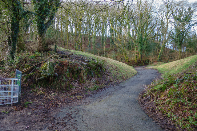
Image: © John Finch Taken: 16 Feb 2018
This shows the view now that the bridge shown here http://www.geograph.org.uk/photo/1657686 has gone
Images are licensed for reuse under creativecommons.org/licenses/by-sa/2.0
Image Location
Latitude
51.644085
Longitude
-3.755183