Start of the East Neston 20mph zone
Introduction
The photograph on this page of Start of the East Neston 20mph zone by Jaggery as part of the Geograph project.
The Geograph project started in 2005 with the aim of publishing, organising and preserving representative images for every square kilometre of Great Britain, Ireland and the Isle of Man.

There are currently over 7.5m images from over 14,400 individuals and you can help contribute to the project by visiting https://www.geograph.org.uk
Start of the East Neston 20mph zone
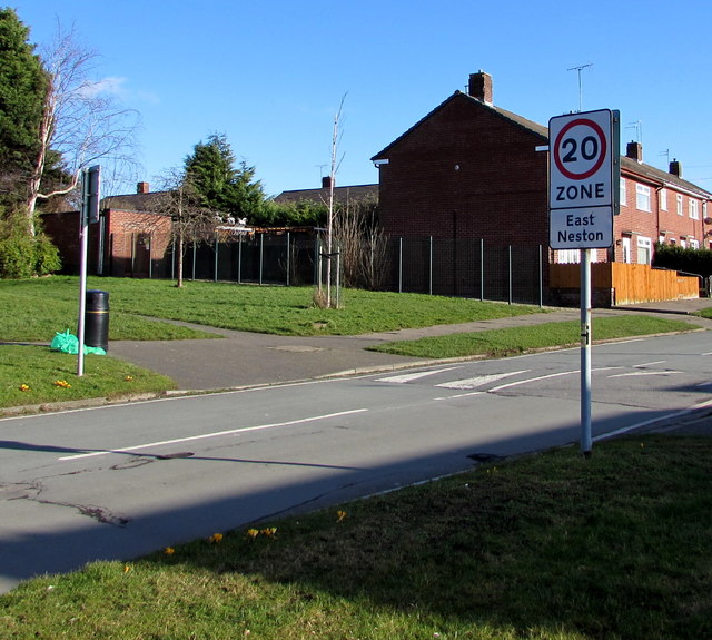
Image: © Jaggery Taken: 15 Feb 2018
Near a speed bump, the sign alongside Drake Road faces Liverpool Road in Neston.
Images are licensed for reuse under creativecommons.org/licenses/by-sa/2.0
Image Location
Latitude
53.295763
Longitude
-3.060698