Field at Pinkhill Farm
Introduction
The photograph on this page of Field at Pinkhill Farm by Derek Harper as part of the Geograph project.
The Geograph project started in 2005 with the aim of publishing, organising and preserving representative images for every square kilometre of Great Britain, Ireland and the Isle of Man.

There are currently over 7.5m images from over 14,400 individuals and you can help contribute to the project by visiting https://www.geograph.org.uk
Field at Pinkhill Farm
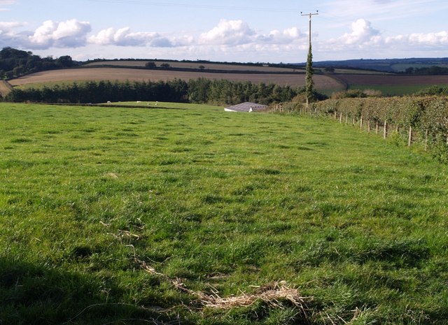
Image: © Derek Harper Taken: 26 Sep 2007
The roofs of a couple of the farm's barns peep above the grass. The conifer wood is Furzehill Plantation, largely in SS5114.
Images are licensed for reuse under creativecommons.org/licenses/by-sa/2.0
Image Location
Latitude
50.908245
Longitude
-4.106433