Farmland east of Deanshanger
Introduction
The photograph on this page of Farmland east of Deanshanger by Christine Johnstone as part of the Geograph project.
The Geograph project started in 2005 with the aim of publishing, organising and preserving representative images for every square kilometre of Great Britain, Ireland and the Isle of Man.

There are currently over 7.5m images from over 14,400 individuals and you can help contribute to the project by visiting https://www.geograph.org.uk
Farmland east of Deanshanger
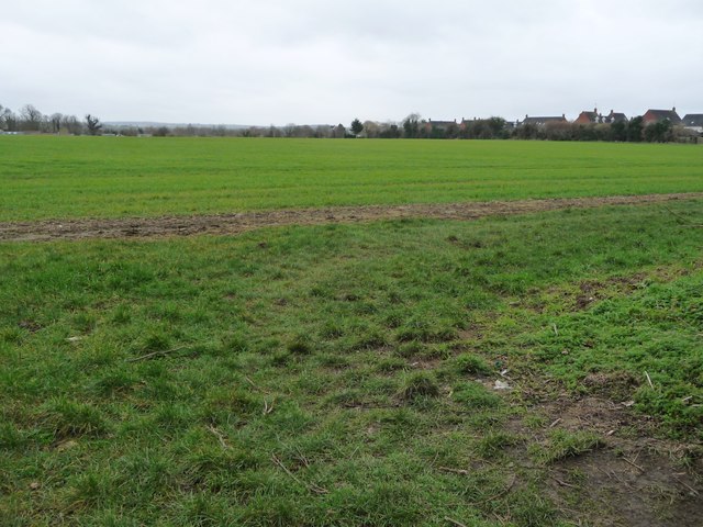
Image: © Christine Johnstone Taken: 13 Feb 2018
On the south side of Hayes Road. The houses at the edge of the village are in Foxholes Close.
Images are licensed for reuse under creativecommons.org/licenses/by-sa/2.0
Image Location
Latitude
52.054166
Longitude
-0.882679