Five Pits Trail
Introduction
The photograph on this page of Five Pits Trail by Alan Walker as part of the Geograph project.
The Geograph project started in 2005 with the aim of publishing, organising and preserving representative images for every square kilometre of Great Britain, Ireland and the Isle of Man.

There are currently over 7.5m images from over 14,400 individuals and you can help contribute to the project by visiting https://www.geograph.org.uk
Five Pits Trail
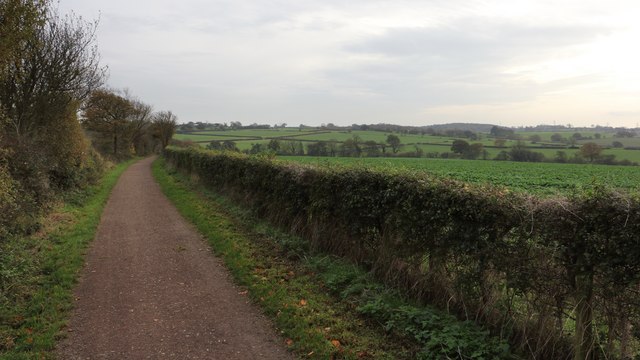
Image: © Alan Walker Taken: 31 Oct 2017
Walking the Five Pits Trail loop around Holmewood and Williamthorpe Image : Previous – (16 of 21) - Next : Image This south-easterly facing photograph is of the Five Pits Trail. See also this photograph by Alan Heardman:- Image - - - An OS map surveyed in 1914 and published in 1921 shows that this section of the Five Pits Trail, which runs between Grassmoor Country Park through to Timber Lane, largely follows the Midland Railway's Pilsley Extension line. However at this part of the trail the route of the old trackbed lay some 40m away in the field to the right.
Images are licensed for reuse under creativecommons.org/licenses/by-sa/2.0
Image Location
Latitude
53.183117
Longitude
-1.367288