The Five Pits Trail Williamthorpe loop
Introduction
The photograph on this page of The Five Pits Trail Williamthorpe loop by Alan Walker as part of the Geograph project.
The Geograph project started in 2005 with the aim of publishing, organising and preserving representative images for every square kilometre of Great Britain, Ireland and the Isle of Man.

There are currently over 7.5m images from over 14,400 individuals and you can help contribute to the project by visiting https://www.geograph.org.uk
The Five Pits Trail Williamthorpe loop
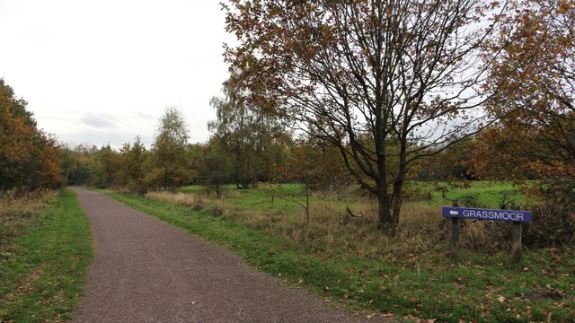
Image: © Alan Walker Taken: 31 Oct 2017
Walking the Five Pits Trail loop around Holmewood and Williamthorpe Image : Previous – (11 of 21) - Next : Image This south-westerly facing photograph is of the Five Pits Trail and is looking in the direction of Wolfie Pond from which a number of routes are possible, including, as the signage suggests the trail to Grassmoor. At this point the trail is following the route of the Great Central Railway's Williamthorpe Colliery Branch line. - - - The Williamthorpe Colliery was serviced by one branch line that was operated by two different railway companies. An OS map surveyed in 1914 and published in 1921 shows that this section of the line was operated by the Great Central Railway. However, some 250m ahead the line passed under Chesterfield Road at which point ownership changed to the Midland Railway. Continuing westward the Midland Railway's Williamthorpe Colliery Branch line had a junction with its Pilsley Extension line in an area now known as Wolfie Pond.
Images are licensed for reuse under creativecommons.org/licenses/by-sa/2.0
Image Location
Latitude
53.194345
Longitude
-1.365626