Great Chart Crossroads
Introduction
The photograph on this page of Great Chart Crossroads by Dave Skinner as part of the Geograph project.
The Geograph project started in 2005 with the aim of publishing, organising and preserving representative images for every square kilometre of Great Britain, Ireland and the Isle of Man.

There are currently over 7.5m images from over 14,400 individuals and you can help contribute to the project by visiting https://www.geograph.org.uk
Great Chart Crossroads
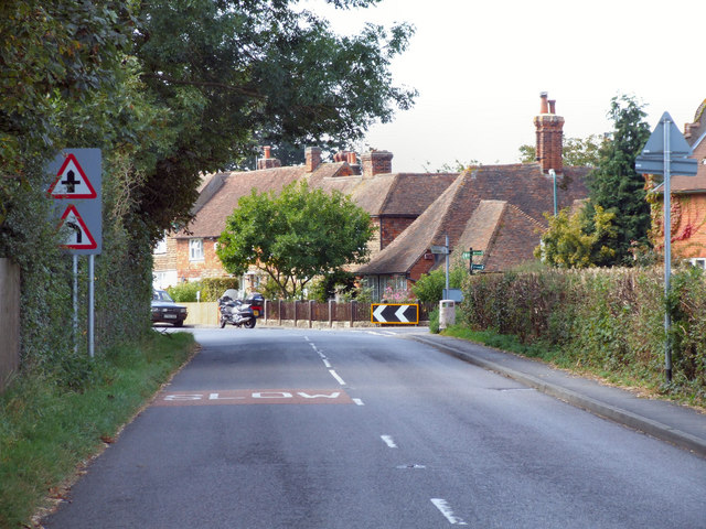
Image: © Dave Skinner Taken: 14 Sep 2007
Approaching "The Street" junction with Ninn Lane on the right at the Ashford end of the village. This road used to be the A28. Cottage behind the chevron sign on the right is The Old Forge in Ninn Lane.
Images are licensed for reuse under creativecommons.org/licenses/by-sa/2.0
Image Location


Leaflet Map data © OpenStreetMap
Latitude
51.144874
Longitude
0.834202