Flooding of brook, Braydon Crossroads July 07
Introduction
The photograph on this page of Flooding of brook, Braydon Crossroads July 07 by Bev Wildeboer as part of the Geograph project.
The Geograph project started in 2005 with the aim of publishing, organising and preserving representative images for every square kilometre of Great Britain, Ireland and the Isle of Man.

There are currently over 7.5m images from over 14,400 individuals and you can help contribute to the project by visiting https://www.geograph.org.uk
Flooding of brook, Braydon Crossroads July 07
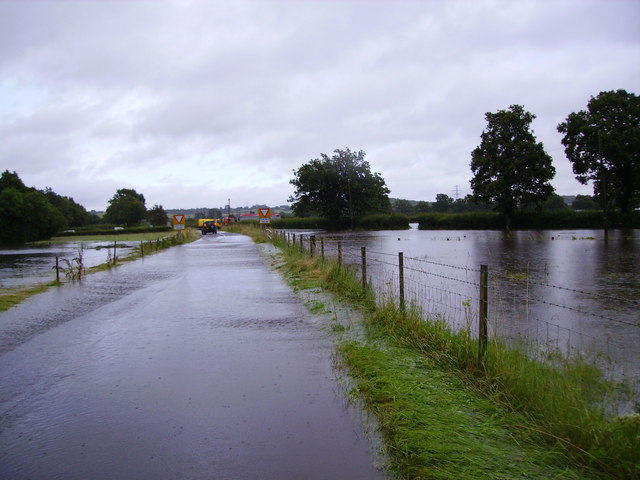
Image: © Bev Wildeboer Taken: 20 Jul 2007
The brook rose during the deluge on July 20th 2007. Braydon Crossroads were flooded and local farmers pulled 28 vehicles out by tractor
Images are licensed for reuse under creativecommons.org/licenses/by-sa/2.0
Image Location
Latitude
51.587228
Longitude
-1.920566