Coharra Road
Introduction
The photograph on this page of Coharra Road by Terry Stewart as part of the Geograph project.
The Geograph project started in 2005 with the aim of publishing, organising and preserving representative images for every square kilometre of Great Britain, Ireland and the Isle of Man.

There are currently over 7.5m images from over 14,400 individuals and you can help contribute to the project by visiting https://www.geograph.org.uk
Coharra Road
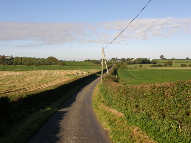
Image: © Terry Stewart Taken: 27 Sep 2007
A side road just off the main Coharra Road which is a dead end. The view is looking back towards the main Road. Turning right will take you to the Moy Road and left will take you to the Loughgall road.
Images are licensed for reuse under creativecommons.org/licenses/by-sa/2.0
Image Location


Leaflet Map data © OpenStreetMap
Latitude
54.427912
Longitude
-6.498466