Road Junction Halbeath
Introduction
The photograph on this page of Road Junction Halbeath by Robert Struthers as part of the Geograph project.
The Geograph project started in 2005 with the aim of publishing, organising and preserving representative images for every square kilometre of Great Britain, Ireland and the Isle of Man.

There are currently over 7.5m images from over 14,400 individuals and you can help contribute to the project by visiting https://www.geograph.org.uk
Road Junction Halbeath
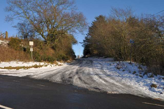
Image: © Robert Struthers Taken: 20 Jan 2018
This was formerly Netherbeath Road which ran from Kingseat Road here, to the B917 Crossgates to Cowdenbeath road. Netherbeath Road disappeared when the Keirsbeath Open Cast Coal Mine was developed in the 1980s. After the mine workings were finished with and landscaped, the road was not reinstated for traffic, so only a stub remains.
Images are licensed for reuse under creativecommons.org/licenses/by-sa/2.0
Image Location
Latitude
56.087145
Longitude
-3.404674