Hett village hall
Introduction
The photograph on this page of Hett village hall by Trevor Littlewood as part of the Geograph project.
The Geograph project started in 2005 with the aim of publishing, organising and preserving representative images for every square kilometre of Great Britain, Ireland and the Isle of Man.

There are currently over 7.5m images from over 14,400 individuals and you can help contribute to the project by visiting https://www.geograph.org.uk
Hett village hall
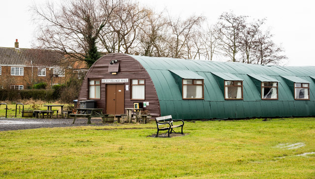
Image: © Trevor Littlewood Taken: 10 Feb 2018
Hett village hall began life, as its website announces, as a World War II Nissen hut. It's centrally located in the village in the middle of the large village green.
Images are licensed for reuse under creativecommons.org/licenses/by-sa/2.0
Image Location
Latitude
54.722175
Longitude
-1.564953