Mill Lane
Introduction
The photograph on this page of Mill Lane by Alan Walker as part of the Geograph project.
The Geograph project started in 2005 with the aim of publishing, organising and preserving representative images for every square kilometre of Great Britain, Ireland and the Isle of Man.

There are currently over 7.5m images from over 14,400 individuals and you can help contribute to the project by visiting https://www.geograph.org.uk
Mill Lane
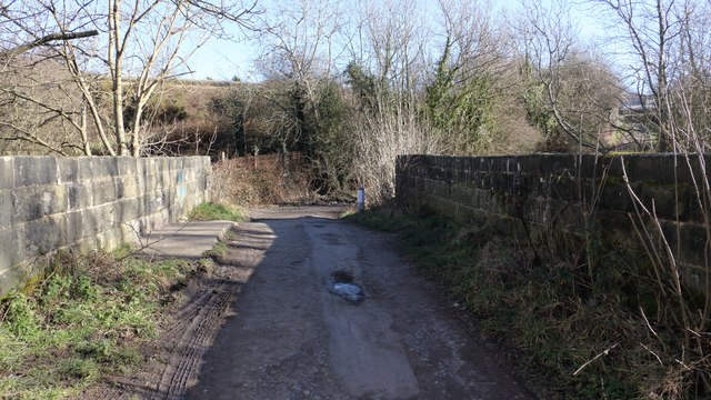
Image: © Alan Walker Taken: 7 Feb 2018
A walk around Grassmoor Image : Previous - (36 of 51) – Next : Image This bridge carries Mill Lane over the River Rother. Ahead this track becomes a road into Grassmoor. Just a few metres behind the photograph is the Midland main line and an underpass taking Mill Lane, which becomes a road again, onward to its junction with Derby Road (A61). See also these photographs by:- Alan Heardman:- Image, Image & Image and Neil Theasby:- Image
Images are licensed for reuse under creativecommons.org/licenses/by-sa/2.0
Image Location
Latitude
53.199582
Longitude
-1.405218