Arable field, Menkee
Introduction
The photograph on this page of Arable field, Menkee by Derek Harper as part of the Geograph project.
The Geograph project started in 2005 with the aim of publishing, organising and preserving representative images for every square kilometre of Great Britain, Ireland and the Isle of Man.

There are currently over 7.5m images from over 14,400 individuals and you can help contribute to the project by visiting https://www.geograph.org.uk
Arable field, Menkee
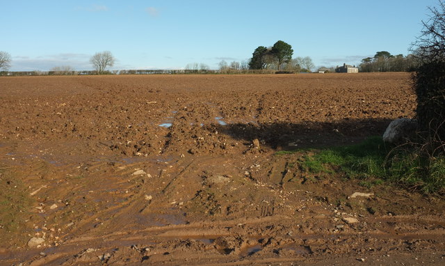
Image: © Derek Harper Taken: 4 Feb 2018
Menkee, the house on the right, is listed https://www.historicengland.org.uk/listing/the-list/list-entry/1327948 . This view, across farmland mapped in 1907 as "Acres", is from the lane from St Mabyn to Tredethy.
Images are licensed for reuse under creativecommons.org/licenses/by-sa/2.0
Image Location


Leaflet Map data © OpenStreetMap
Latitude
50.519886
Longitude
-4.745116