Field near St Mabyn
Introduction
The photograph on this page of Field near St Mabyn by Derek Harper as part of the Geograph project.
The Geograph project started in 2005 with the aim of publishing, organising and preserving representative images for every square kilometre of Great Britain, Ireland and the Isle of Man.

There are currently over 7.5m images from over 14,400 individuals and you can help contribute to the project by visiting https://www.geograph.org.uk
Field near St Mabyn
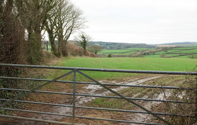
Image: © Derek Harper Taken: 4 Feb 2018
From the lane near Tredinnick. A track used to run alongside the field boundary on the left to join the footpath to Colquite, but there doesn't seem to be much evidence of it now. When will that sunshine appear?
Images are licensed for reuse under creativecommons.org/licenses/by-sa/2.0
Image Location
Latitude
50.521924
Longitude
-4.757791