Church Road path
Introduction
The photograph on this page of Church Road path by Robert Eva as part of the Geograph project.
The Geograph project started in 2005 with the aim of publishing, organising and preserving representative images for every square kilometre of Great Britain, Ireland and the Isle of Man.

There are currently over 7.5m images from over 14,400 individuals and you can help contribute to the project by visiting https://www.geograph.org.uk
Church Road path
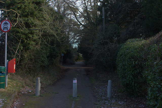
Image: © Robert Eva Taken: 7 Feb 2018
The road turns into Temple Way here and the old road continues on to the St Peter and St Paul church as a path.
Images are licensed for reuse under creativecommons.org/licenses/by-sa/2.0
Image Location
Latitude
51.996818
Longitude
-0.503207