Coombe Lane, Kingsbridge
Introduction
The photograph on this page of Coombe Lane, Kingsbridge by Derek Harper as part of the Geograph project.
The Geograph project started in 2005 with the aim of publishing, organising and preserving representative images for every square kilometre of Great Britain, Ireland and the Isle of Man.

There are currently over 7.5m images from over 14,400 individuals and you can help contribute to the project by visiting https://www.geograph.org.uk
Coombe Lane, Kingsbridge
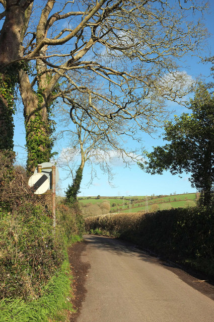
Image: © Derek Harper Taken: 9 Feb 2018
Seen from close to its junction with Stentiford Hill, and heading up a small valley past Coombe Farm.
Images are licensed for reuse under creativecommons.org/licenses/by-sa/2.0
Image Location
Latitude
50.29299
Longitude
-3.77643