In the Allen valley
Introduction
The photograph on this page of In the Allen valley by Derek Harper as part of the Geograph project.
The Geograph project started in 2005 with the aim of publishing, organising and preserving representative images for every square kilometre of Great Britain, Ireland and the Isle of Man.

There are currently over 7.5m images from over 14,400 individuals and you can help contribute to the project by visiting https://www.geograph.org.uk
In the Allen valley
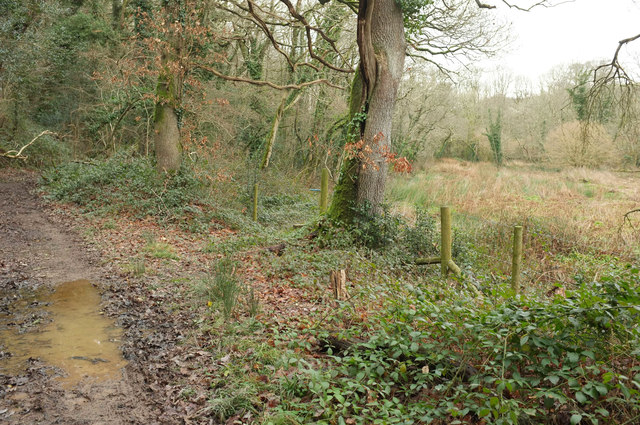
Image: © Derek Harper Taken: 4 Feb 2018
Bridleway 510 9/1 runs along a wet track with an open meadow between it and the river. This is below Higher Lemail.
Images are licensed for reuse under creativecommons.org/licenses/by-sa/2.0
Image Location
Latitude
50.525168
Longitude
-4.787754