A gap in the earthworks
Introduction
The photograph on this page of A gap in the earthworks by Neil Owen as part of the Geograph project.
The Geograph project started in 2005 with the aim of publishing, organising and preserving representative images for every square kilometre of Great Britain, Ireland and the Isle of Man.

There are currently over 7.5m images from over 14,400 individuals and you can help contribute to the project by visiting https://www.geograph.org.uk
A gap in the earthworks
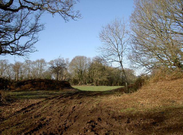
Image: © Neil Owen Taken: 7 Feb 2018
This is Bury Hill fort's entrance from the east. The site seems to have been used in two or three main eras: excavations have produced materials from the palaeolithic, indicating the earliest occupation; later finds include Iron Age and late Roman.
Images are licensed for reuse under creativecommons.org/licenses/by-sa/2.0
Image Location
Latitude
51.509483
Longitude
-2.501823