A path up to Camp Cottage
Introduction
The photograph on this page of A path up to Camp Cottage by Neil Owen as part of the Geograph project.
The Geograph project started in 2005 with the aim of publishing, organising and preserving representative images for every square kilometre of Great Britain, Ireland and the Isle of Man.

There are currently over 7.5m images from over 14,400 individuals and you can help contribute to the project by visiting https://www.geograph.org.uk
A path up to Camp Cottage
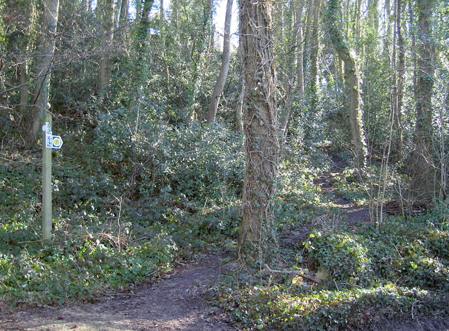
Image: © Neil Owen Taken: 7 Feb 2018
The top of the hill is an old hillfort, where one modern home can be found.
Images are licensed for reuse under creativecommons.org/licenses/by-sa/2.0
Image Location
Latitude
51.511089
Longitude
-2.504867