Field full of sheep
Introduction
The photograph on this page of Field full of sheep by Derek Harper as part of the Geograph project.
The Geograph project started in 2005 with the aim of publishing, organising and preserving representative images for every square kilometre of Great Britain, Ireland and the Isle of Man.

There are currently over 7.5m images from over 14,400 individuals and you can help contribute to the project by visiting https://www.geograph.org.uk
Field full of sheep
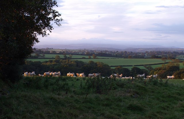
Image: © Derek Harper Taken: 26 Sep 2007
Sheep bask uncertainly in a brief spell of early morning sunlight. On the left on the far side of the field is Froggey Plantation. Beyond, the land slopes away to the valleys of the Hole Brook, and, nearer, one of its tributaries. A very long way beyond is Dartmoor, in a coating of cloud. Seen from the lane between Splatt and Monkokehampton.
Images are licensed for reuse under creativecommons.org/licenses/by-sa/2.0
Image Location


Leaflet Map data © OpenStreetMap
Latitude
50.826141
Longitude
-3.993397