Public right of way
Introduction
The photograph on this page of Public right of way by Alan Walker as part of the Geograph project.
The Geograph project started in 2005 with the aim of publishing, organising and preserving representative images for every square kilometre of Great Britain, Ireland and the Isle of Man.

There are currently over 7.5m images from over 14,400 individuals and you can help contribute to the project by visiting https://www.geograph.org.uk
Public right of way
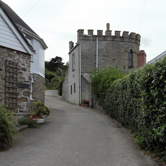
Image: © Alan Walker Taken: 29 Aug 2017
This steep lane carries the start of a public footpath from near the eastern end of Primrose Terrace in Portreath. A short distance ahead the footpath leaves the metalled surface and climbs up through woodland to Feadon Farm http://www.feadonfarmwildlife.co.uk/ . For a photograph taken ahead, near to the end of this right of way, click here Image The castellated building is Portreath Gazebo. For more information, see this photograph by Alan Terrill Image
Images are licensed for reuse under creativecommons.org/licenses/by-sa/2.0
Image Location


Leaflet Map data © OpenStreetMap
Latitude
50.26011
Longitude
-5.285406