A345 Salisbury Road
Introduction
The photograph on this page of A345 Salisbury Road by Robin Webster as part of the Geograph project.
The Geograph project started in 2005 with the aim of publishing, organising and preserving representative images for every square kilometre of Great Britain, Ireland and the Isle of Man.

There are currently over 7.5m images from over 14,400 individuals and you can help contribute to the project by visiting https://www.geograph.org.uk
A345 Salisbury Road
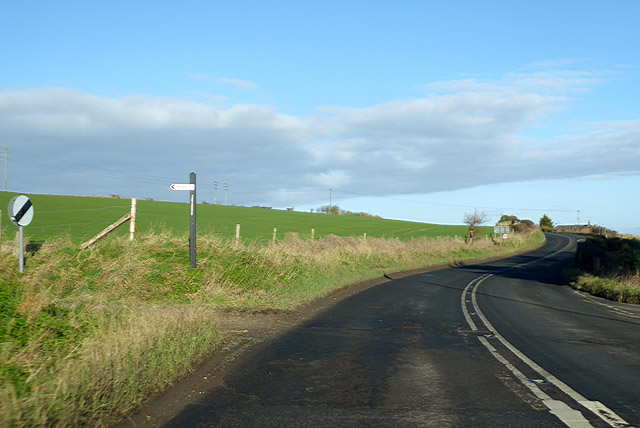
Image: © Robin Webster Taken: 2 Feb 2018
Heading north with a 50 mph limit. The derestricted turn to the left is in fact an unsurfaced byway, where it would be a remarkable and probably dangerous feat to exceed 50 anyway.
Images are licensed for reuse under creativecommons.org/licenses/by-sa/2.0
Image Location
Latitude
51.243959
Longitude
-1.796664