Witham St Hughs
Introduction
The photograph on this page of Witham St Hughs by Jonathan Thacker as part of the Geograph project.
The Geograph project started in 2005 with the aim of publishing, organising and preserving representative images for every square kilometre of Great Britain, Ireland and the Isle of Man.

There are currently over 7.5m images from over 14,400 individuals and you can help contribute to the project by visiting https://www.geograph.org.uk
Witham St Hughs
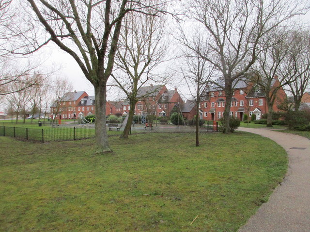
Image: © Jonathan Thacker Taken: 3 Feb 2018
Witham St Hughs has been developed on part of the site of RAF Swinderby. On the north side (at present) of the site is the village centre where public facilities are concentrated. Nearby is a green area which I suppose passes for the Village Green (or park). This path runs along its south eastern edge.
Images are licensed for reuse under creativecommons.org/licenses/by-sa/2.0
Image Location


Leaflet Map data © OpenStreetMap
Latitude
53.149615
Longitude
-0.663654