Roadside wall in Conway Road, Llandudno Junction
Introduction
The photograph on this page of Roadside wall in Conway Road, Llandudno Junction by John S Turner as part of the Geograph project.
The Geograph project started in 2005 with the aim of publishing, organising and preserving representative images for every square kilometre of Great Britain, Ireland and the Isle of Man.

There are currently over 7.5m images from over 14,400 individuals and you can help contribute to the project by visiting https://www.geograph.org.uk
Roadside wall in Conway Road, Llandudno Junction
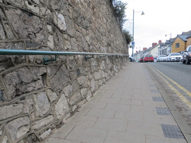
Image: © John S Turner Taken: 17 Dec 2013
Looking east along Conway Road towards its junction with Glyn-Y-Marl Road. There is an Ordnance Survey bench mark cut into the wall on the left - Image
Images are licensed for reuse under creativecommons.org/licenses/by-sa/2.0
Image Location
Latitude
53.284109
Longitude
-3.805779