House dated 1912
Introduction
The photograph on this page of House dated 1912 by Jonathan Thacker as part of the Geograph project.
The Geograph project started in 2005 with the aim of publishing, organising and preserving representative images for every square kilometre of Great Britain, Ireland and the Isle of Man.

There are currently over 7.5m images from over 14,400 individuals and you can help contribute to the project by visiting https://www.geograph.org.uk
House dated 1912
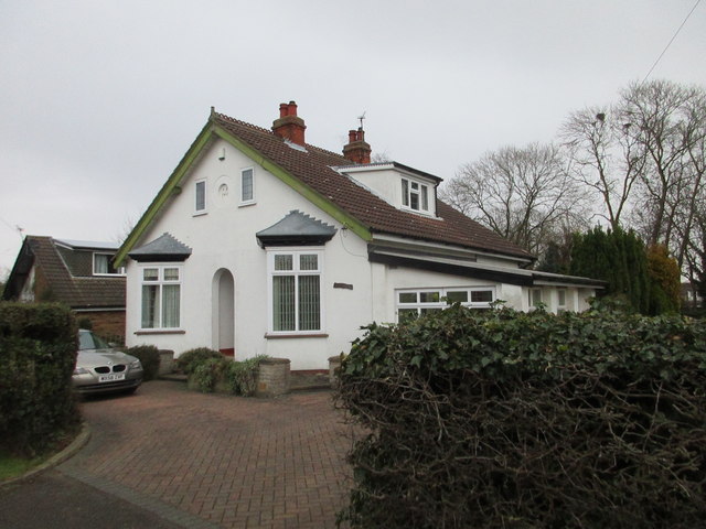
Image: © Jonathan Thacker Taken: 1 Feb 2018
This house would be among the first that began the process of the suburbanisation of Holton le Clay. Until 1905 the village was served by a railway station a mile andd a half distant. But in that year Holton Village halt https://en.wikipedia.org/wiki/Holton_Village_Halt_railway_station was opened only a few hundred yards beyond the church. Holton then began to grow to become today's village with over 3,500 inhabitants.
Images are licensed for reuse under creativecommons.org/licenses/by-sa/2.0
Image Location
Latitude
53.505452
Longitude
-0.062453