Farm track
Introduction
The photograph on this page of Farm track by Lairich Rig as part of the Geograph project.
The Geograph project started in 2005 with the aim of publishing, organising and preserving representative images for every square kilometre of Great Britain, Ireland and the Isle of Man.

There are currently over 7.5m images from over 14,400 individuals and you can help contribute to the project by visiting https://www.geograph.org.uk
Farm track
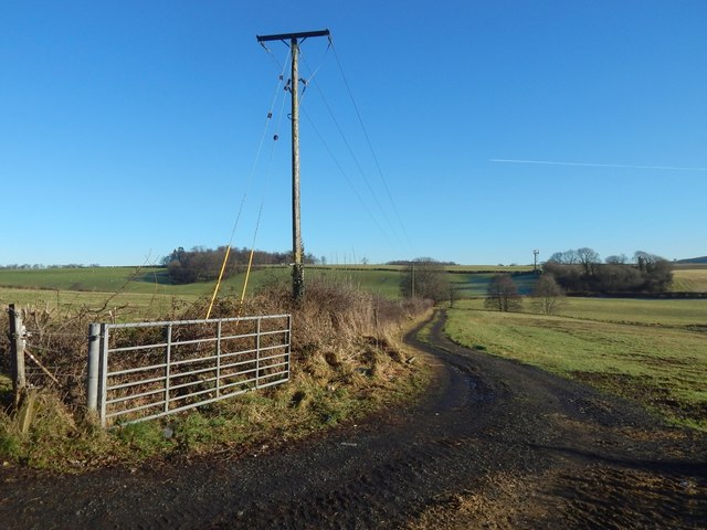
Image: © Lairich Rig Taken: 26 Jan 2018
The small wooded area in the right background is around the disused quarry that is marked on the map at Image According to map evidence, the quarry and woods were not present in 1860; the quarry was in use in 1898, and was disused by 1914. The picture was taken from Stirling Road: Image was taken from the same place; note the fence post on the right in that image, which is at the far left in the present picture.
Images are licensed for reuse under creativecommons.org/licenses/by-sa/2.0
Image Location
Latitude
56.008064
Longitude
-4.56586