The Red Burn
Introduction
The photograph on this page of The Red Burn by Lairich Rig as part of the Geograph project.
The Geograph project started in 2005 with the aim of publishing, organising and preserving representative images for every square kilometre of Great Britain, Ireland and the Isle of Man.

There are currently over 7.5m images from over 14,400 individuals and you can help contribute to the project by visiting https://www.geograph.org.uk
The Red Burn
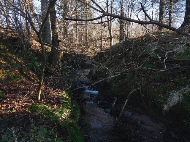
Image: © Lairich Rig Taken: 26 Jan 2018
A subdivision of New Bonhill is called Redburn, after this burn. I have had a different burn, the one that currently flows through the Redburn area of housing (it flows east-west through Image), pointed out to me as "the Red Burn". It would be natural to make that identification, but OS maps from the first-edition (1860) to the present-day disagree. The Red Burn is the one shown here. It flows along the southern edge of the New Bonhill estates. The course of the burn is important in that it served as the boundary between Dumbarton and Bonhill Parishes.
Images are licensed for reuse under creativecommons.org/licenses/by-sa/2.0
Image Location
Latitude
55.974159
Longitude
-4.566819