Papermill Close
Introduction
The photograph on this page of Papermill Close by N Chadwick as part of the Geograph project.
The Geograph project started in 2005 with the aim of publishing, organising and preserving representative images for every square kilometre of Great Britain, Ireland and the Isle of Man.

There are currently over 7.5m images from over 14,400 individuals and you can help contribute to the project by visiting https://www.geograph.org.uk
Papermill Close
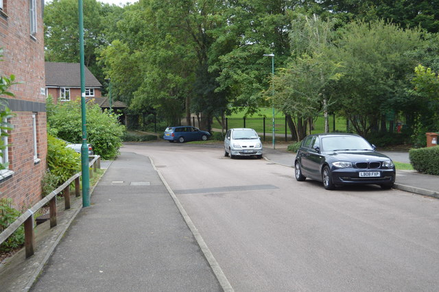
Image: © N Chadwick Taken: 23 Aug 2017
The name alludes to the paper making industry that used to exist along the River Wandle.
Images are licensed for reuse under creativecommons.org/licenses/by-sa/2.0
Image Location
Latitude
51.368628
Longitude
-0.160888