Chapman Road, Clacton-on-Sea
Introduction
The photograph on this page of Chapman Road, Clacton-on-Sea by Duncan Graham as part of the Geograph project.
The Geograph project started in 2005 with the aim of publishing, organising and preserving representative images for every square kilometre of Great Britain, Ireland and the Isle of Man.

There are currently over 7.5m images from over 14,400 individuals and you can help contribute to the project by visiting https://www.geograph.org.uk
Chapman Road, Clacton-on-Sea
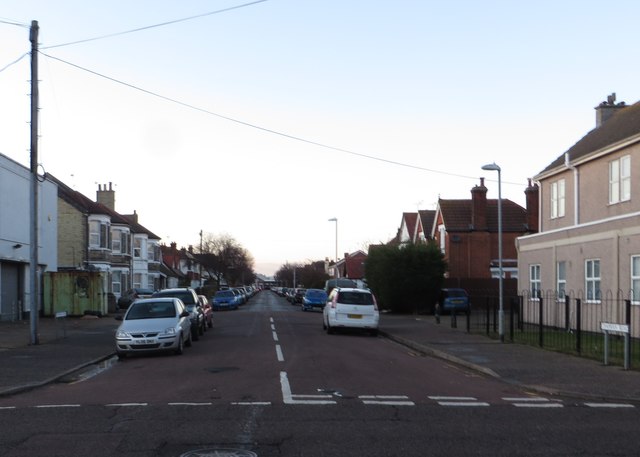
Image: © Duncan Graham Taken: 31 Jan 2018
A residential street, looking north-west. Photograph taken from junction with High Street. Chapman Road runs from the High Street to Skelmersdale Road; the Skelmersdale Road end of Chapman Road is opposite Clacton railway station. A copy of an 1896 Ordnance Survey map of Clacton shows Chapman Road under construction at that date.
Images are licensed for reuse under creativecommons.org/licenses/by-sa/2.0
Image Location
Latitude
51.791687
Longitude
1.156541