Public footpath
Introduction
The photograph on this page of Public footpath by Alan Walker as part of the Geograph project.
The Geograph project started in 2005 with the aim of publishing, organising and preserving representative images for every square kilometre of Great Britain, Ireland and the Isle of Man.

There are currently over 7.5m images from over 14,400 individuals and you can help contribute to the project by visiting https://www.geograph.org.uk
Public footpath
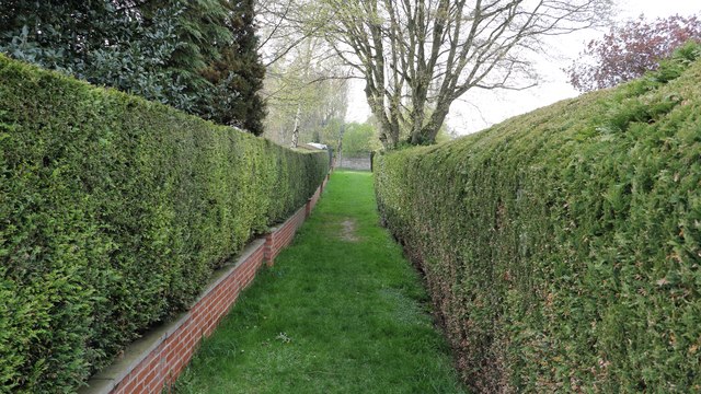
Image: © Alan Walker Taken: 9 Apr 2017
This is the north-westerly end of a short public footpath that leads between two dwellings on to a short track by Manor Farm in Roecliffe. Behind the viewpoint the footpath follows a field boundary having crossed over a small Image from Thorns Lane.
Images are licensed for reuse under creativecommons.org/licenses/by-sa/2.0
Image Location
Latitude
54.08675
Longitude
-1.427617