Hen dramffordd / Former tram-road
Introduction
The photograph on this page of Hen dramffordd / Former tram-road by Alan Richards as part of the Geograph project.
The Geograph project started in 2005 with the aim of publishing, organising and preserving representative images for every square kilometre of Great Britain, Ireland and the Isle of Man.

There are currently over 7.5m images from over 14,400 individuals and you can help contribute to the project by visiting https://www.geograph.org.uk
Hen dramffordd / Former tram-road
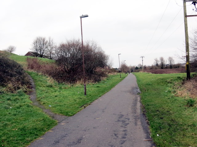
Image: © Alan Richards Taken: 30 Jan 2018
Mae'r hen dramffordd lofaol, a arweiniai at sawl pwll glo, bellach yn llwybr cyhoeddus. A former colliery tram-road, which served several pits, is today a public footpath.
Images are licensed for reuse under creativecommons.org/licenses/by-sa/2.0
Image Location
Latitude
51.674186
Longitude
-4.146276