BPI Visqueen Industrial-Ardeer
Introduction
The photograph on this page of BPI Visqueen Industrial-Ardeer by Raibeart MacAoidh as part of the Geograph project.
The Geograph project started in 2005 with the aim of publishing, organising and preserving representative images for every square kilometre of Great Britain, Ireland and the Isle of Man.

There are currently over 7.5m images from over 14,400 individuals and you can help contribute to the project by visiting https://www.geograph.org.uk
BPI Visqueen Industrial-Ardeer
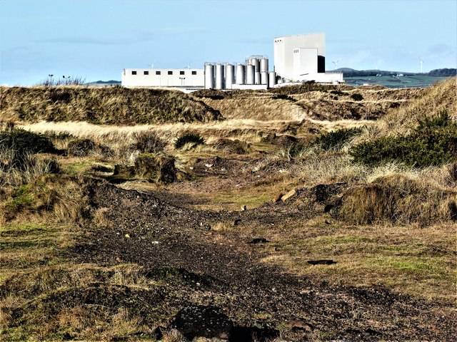
Image: © Raibeart MacAoidh Taken: 29 Jan 2018
Looking towards BPI Visqueen Industrial-Ardeer from the dunes. Ardeer was once an island with a sea channel running along to exit in the vicinity of Auchenharvie Academy. By the late 17th century the island had become a peninsula due to extreme sand movements which may have also choked the sea channel that had made Ardeer an island.
Images are licensed for reuse under creativecommons.org/licenses/by-sa/2.0
Image Location
Latitude
55.62142
Longitude
-4.730826