Winkfield Plain
Introduction
The photograph on this page of Winkfield Plain by Andrew Smith as part of the Geograph project.
The Geograph project started in 2005 with the aim of publishing, organising and preserving representative images for every square kilometre of Great Britain, Ireland and the Isle of Man.

There are currently over 7.5m images from over 14,400 individuals and you can help contribute to the project by visiting https://www.geograph.org.uk
Winkfield Plain
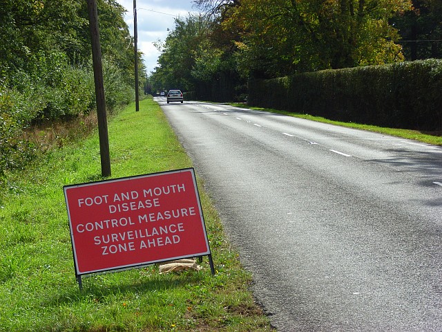
Image: © Andrew Smith Taken: 23 Sep 2007
The straight section of road at Winkfield Place as it enters the surveillance zone set up following the foot-and-mouth outbreak at Egham.
Images are licensed for reuse under creativecommons.org/licenses/by-sa/2.0
Image Location


Leaflet Map data © OpenStreetMap
Latitude
51.45565
Longitude
-0.671526